Fix:BaliLandsat001.jpg
Grandia de esta previde: 788 × 600 pixeles Otra densias: 315 × 240 pixeles | 631 × 480 pixeles | 896 × 682 pixeles.
Fix orijinal (896 × 682 pixeles, grandia de fix: 133 KB, tipo MIME: image/jpeg)
Resoma
| Descrive | |||
| Data | 14 novembre 2004 (original upload date) | ||
| Fonte |
Transferred from ja.Wikipedia; ja:ファイル:BaliLandsat001.jpg
|
||
| Autor | Global Land Cover Facility (GLCF)、っ at Japanese Vicipedia |
Lisensa
| Esta fix es lisensada su la lisensa Attribution-Share Alike 3.0 Unported de Creative Commons. Subject to disclaimers. | ||
| ||
| This licensing tag was added to this file as part of the GFDL licensing update. |

|
Permete es donada per copia, distribui e/o altera esta documento su la restrinjes de la GNU Free Documentation License, Varia 1.2 o cualce varia plu tarda publicida par la Free Software Foundation, sin partes nonvariante, sin testo de covrente fronte e sin testo de covrente retro. Un copia de la lisensa es incluida en la parte nomida GNU Free Documentation License. Subject to disclaimers. |
Original upload log
| This file was moved from Japanese Wikipedia.
See below for original file information. | ||||||||||||||||||||||||||||||||
| ||||||||||||||||||||||||||||||||
|
| ||||||||||||||||||||||||||||||||
Istoria de fix
Clica un data/ora per vide la fix en sua forma de alora.
| Data/Ora | Imajeta | Mesuras | Usor | Comenta | |
|---|---|---|---|---|---|
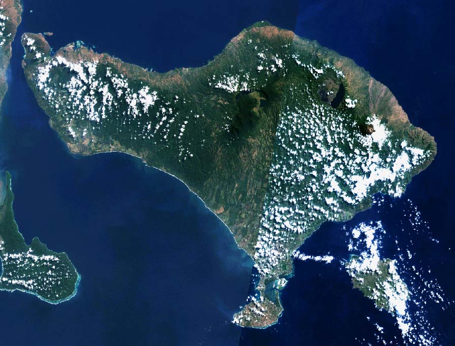
| aora | 08:04, 22 novembre 2010 | | 896 × 682 (133 KB) | File Upload Bot (Magnus Manske) | {{BotMoveToCommons|ja.wikipedia|year={{subst:CURRENTYEAR}}|month={{subst:CURRENTMONTHNAME}}|day={{subst:CURRENTDAY}}}} {{Information |Description={{ja|バリ島のLandsat衛星写真}} |Source=Transferred from [http://ja.wikipedia.org ja.wikipedia]; tran |
Usas de fix
La paje seguente lia a esta fix:
Usa global de fix
La otra vicis seguente usa esta fix:
- Usa en af.wikipedia.org
- Usa en az.wikipedia.org
- Usa en ban.wikipedia.org
- Usa en bcl.wikipedia.org
- Usa en bn.wikipedia.org
- Usa en ca.wikipedia.org
- Usa en de.wikipedia.org
- Usa en en.wikipedia.org
- Usa en eo.wikipedia.org
- Usa en fo.wikipedia.org
- Usa en frr.wikipedia.org
- Usa en fr.wikipedia.org
- Usa en ga.wikipedia.org
- Usa en gl.wikipedia.org
- Usa en hu.wikipedia.org
- Usa en ja.wikipedia.org
- Usa en ku.wikipedia.org
- Usa en mai.wikipedia.org
- Usa en nl.wikipedia.org
- Usa en oc.wikipedia.org
- Usa en pl.wiktionary.org
- Usa en sat.wikipedia.org
- Usa en ta.wikipedia.org
- Usa en tt.wikipedia.org
- Usa en vi.wikipedia.org
- Usa en www.wikidata.org