Fix:Iowa in United States.svg

Grandia de esta previde PNG de esta fix SVG: 800 × 495 pixeles. Otra densias: 320 × 198 pixeles | 640 × 396 pixeles | 1,024 × 634 pixeles | 1,280 × 792 pixeles | 2,560 × 1,585 pixeles | 1,181 × 731 pixeles.
Fix orijinal (fix svg, densia: 1,181 × 731 pixeles, grandia: 3.46 MB)
Resoma
| Descrive |
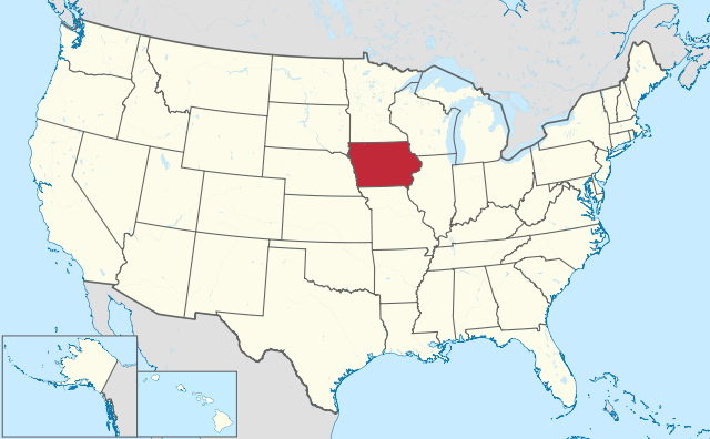
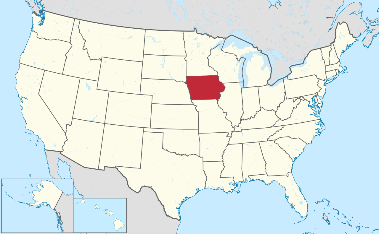
Deutsch: Lage von Iowa in den Vereinigten Staaten.
English: Location of state of Iowa in the United States. |
| Data | |
| Fonte |
Obra propre |
| Autor |
TUBS |
| SVG genesis | This oversized W3C-invalid locator map was created with Adobe Illustrator by TUBS, and with Inkscape. This large W3C-invalid SVG locator map was uploaded with Commonist. This Adobe SVG locator map is very large because TUBS kept the superfluous Adobe PGF or other CDATA garbage . |
Lisensa
I, the copyright holder of this work, hereby publish it under the following license:
Esta fix es lisensada su la lisensa Attribution-Share Alike 3.0 Unported de Creative Commons.
- Tu es libre:
- per comparti – per copia, distribui e transmete la obra
- per remisca – per ajusta la obra
- Su la constrinjes seguente:
- atribui – Tu debe atribui la obra en la modo spesifada par la autor o lisensor (ma no en cualce modo cual sujesta ce el aproba tu o tua usa de la obra).
- share alike – Si tu altera, muta o developa plu esta obra, tu pote distribui la obra resultante sola su la mesma lisensa o un simil a esta.

|
I'd greatly appreciate, that you attribute this media file to Wikimedia Commons, if used outside Wikipedia or Commons. For use in publications such as books, newspapers, blogs, websites, please insert here the following line:
|
Istoria de fix
Clica un data/ora per vide la fix en sua forma de alora.
| Data/Ora | Imajeta | Mesuras | Usor | Comenta | |
|---|---|---|---|---|---|
| aora | 16:45, 30 julio 2011 | | 1,181 × 731 (3.46 MB) | TUBS |
Usas de fix
La paje seguente lia a esta fix:
Usa global de fix
La otra vicis seguente usa esta fix:
- Usa en am.wikipedia.org
- Usa en ang.wikipedia.org
- Usa en ar.wikipedia.org
- Usa en ary.wikipedia.org
- Usa en arz.wikipedia.org
- Usa en ast.wikipedia.org
- Usa en azb.wikipedia.org
- آیووا
- موسکاتین بؤلگهسی، ایووا
- دالاس بؤلگهسی، ایووا
- وارن بؤلگهسی، ایووا
- واشینقتون بؤلگهسی، ایووا
- دز موینز بؤلگهسی، ایووا
- دیکینزون بؤلگهسی، ایووا
- بنتون بؤلگهسی، ایووا
- پولک بؤلگهسی، ایووا
- بلک هاوک بؤلگهسی، ایووا
- برمر بؤلگهسی، ایووا
- قروندی بؤلگهسی، ایووا
- قوتری بؤلگهسی، ایووا
- وودبوری بؤلگهسی، ایووا
- کلای بؤلگهسی، ایووا
- وورت بؤلگهسی، ایووا
- ایسکات بؤلگهسی، ایووا
- جفرزون بؤلگهسی، ایووا
- جانسون بؤلگهسی، ایووا
- جونز بؤلگهسی، ایووا
- لی بؤلگهسی، ایووا
- مادیسون بؤلگهسی، ایووا
- لوییا بؤلگهسی، ایووا
- Usa en az.wikipedia.org
- Usa en bat-smg.wikipedia.org
- Usa en be.wikipedia.org
- Usa en bg.wikipedia.org
- Usa en bs.wikipedia.org
- Usa en ca.wikipedia.org
- Usa en cbk-zam.wikipedia.org
- Usa en cdo.wikipedia.org
- Usa en ceb.wikipedia.org
- Usa en ckb.wikipedia.org
- Usa en crh.wikipedia.org
- Usa en cs.wikipedia.org
- Usa en cy.wikipedia.org
Mostra plu usas global de esta fix.