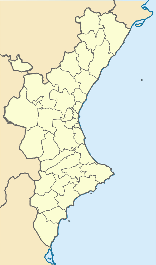
Fix:Mapa de localització a les comarques valencianes.svg

Grandia de esta previde PNG de esta fix SVG: 353 × 599 pixeles. Otra densias: 141 × 240 pixeles | 283 × 480 pixeles | 452 × 768 pixeles | 603 × 1,024 pixeles | 1,206 × 2,048 pixeles | 994 × 1,687 pixeles.
Fix orijinal (fix svg, densia: 994 × 1,687 pixeles, grandia: 159 KB)
Resoma
| Descrive |
Català: Posicionament:
|top=40.88
|bottom=37.62
|left=-1.57
|right=0.905 |
||
| Data | |||
| Fonte | |||
| Autor |
|
||
| SVG genesis |
|
Lisensa
Esta fix es lisensada su la lisensa Attribution-Share Alike 3.0 Unported de Creative Commons.
- Tu es libre:
- per comparti – per copia, distribui e transmete la obra
- per remisca – per ajusta la obra
- Su la constrinjes seguente:
- atribui – Tu debe atribui la obra en la modo spesifada par la autor o lisensor (ma no en cualce modo cual sujesta ce el aproba tu o tua usa de la obra).
- share alike – Si tu altera, muta o developa plu esta obra, tu pote distribui la obra resultante sola su la mesma lisensa o un simil a esta.
Original upload log
This image is a derivative work of the following images:
- Mapa de localització al País Valencià.svg licensed with Cc-by-sa-3.0
- 2010-01-02T20:12:39Z Martorell 256x256 (612762 Bytes) Correcting SVG code.
- 2010-01-02T20:09:31Z Martorell 0x0 (617180 Bytes) {{Information |Description={{en|Blank administrative map of [[:en:France|France]] for geo-location purpose, with regions and departements distinguished.Approximate scale : 1:3,000,000}} {{fr|Carte administrative vierge de la
- Castellon - Mapa municipal.svg licensed with Cc-by-sa-3.0-migrated, GFDL
- 2006-10-01T21:24:22Z Sanbec 420x388 (264984 Bytes) Margins removed
- 2005-10-29T12:56:35Z Tony Rotondas 778x413 (249521 Bytes) '''Title''' :'''es:''' Municipios de Castellón (España). 2003 :'''en:''' Municipalities of Castellón (Spain). 2003 '''Author''' :[http://es.wikipedia.org/wiki/Usuario:Tony_Rotondas Emilio Gómez Fernández] {{GFDL}} [[Ca
- Valencia - Mapa municipal.svg licensed with Cc-by-sa-3.0-migrated, GFDL
- 2005-10-29T13:38:59Z Tony Rotondas 778x413 (473611 Bytes) '''Title''' :'''es:''' Municipios de Valencia (España). 2003 :'''en:''' Municipalities of Valencia (Spain). 2003 '''Author''' :[http://es.wikipedia.org/wiki/Usuario:Tony_Rotondas Emilio Gómez Fernández] {{GFDL}} [[Catego
- Alicante - Mapa municipal.svg licensed with Cc-by-sa-3.0-migrated, GFDL
- 2005-10-29T12:38:55Z Tony Rotondas 778x413 (242866 Bytes) '''Title''' :'''es:''' Municipios de Alicante (España). 2003 :'''en:''' Municipalities of Alicante (Spain). 2003 '''Author''' :[http://es.wikipedia.org/wiki/Usuario:Tony_Rotondas Emilio Gómez Fernández] {{GFDL}} [[Catego
Uploaded with derivativeFX
Istoria de fix
Clica un data/ora per vide la fix en sua forma de alora.
| Data/Ora | Imajeta | Mesuras | Usor | Comenta | |
|---|---|---|---|---|---|
| aora | 07:49, 20 novembre 2021 | | 994 × 1,687 (159 KB) | Jmarchn | Desrotació del mapa que impedia la geolocalització per coordenades |
| 17:01, 3 janero 2010 |  | 71 × 124 (196 KB) | Martorell | Too big file size. | |
| 16:09, 3 janero 2010 |  | 709 × 1,240 (3.33 MB) | Martorell | {{Information |Description={{en|Blank administrative map of France for geo-location purpose, with regions and departements distinguished.<br/>Approximate scale : 1:3,000,000}} {{fr|Carte administrative vierge de la France des |
Usas de fix
La paje seguente lia a esta fix:
Usa global de fix
La otra vicis seguente usa esta fix:
- Usa en ca.wikipedia.org
- Setge de Borriana
- Batalla dels Alcalans
- Conquesta d'Ares
- Setge de Morella (1232)
- Setge de Peníscola (1225)
- Setge de Dàniyya
- Batalla d'Oriola (1873)
- Bombardeig d'Alacant (1873)
- Plantilla:Location map País Valencià
- Acció de la Fuensanta
- Batalla d'Alcoi
- Setge de Llucena (1835)
- Setge de Llucena (1837)
- Batalla d'Ulldecona
- Batalla de les Alcubles
- Batalla de Soneixa
- Batalla de Toga
- Batalla de Castelló
- Batalla de Torreblanca
- Batalla de Bunyol
- Batalla de Burjassot
- Setge de Sant Mateu (1837)
- Setge de Benicarló (1837)
- Acció d'Ademús
- Batalla d'Albaida
- Batalles de Castalla (1812 i 1813)
- Batalla de Sagunt
- Batalla de Castalla (1812)
- Setge de València (1812)
- Batalla d'Alacant
- Batalla de València (1808)
- Usa en en.wikipedia.org