Fix:Flag map of Germany (separation).svg

Grandia de esta previde PNG de esta fix SVG: 239 × 599 pixeles. Otra densias: 95 × 240 pixeles | 191 × 480 pixeles | 306 × 768 pixeles | 408 × 1,024 pixeles | 816 × 2,048 pixeles | 512 × 1,284 pixeles.
Fix orijinal (fix svg, densia: 512 × 1,284 pixeles, grandia: 645 KB)
.svg)
Resoma
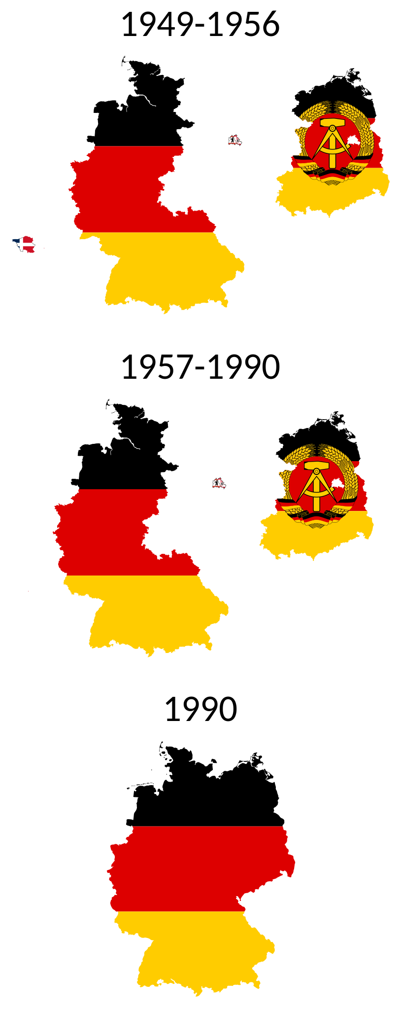
| Descrive | SVG flag map of the German Separation |
| Data | (UTC) |
| Fonte | Own work based on: BRDDDR.png |
| Autor |
|
| Other versions |
 .svg) .svg) |
| SVG genesis | This W3C-invalid flag map was created with unknown tool. |
Lisensa
I, the copyright holder of this work, hereby publish it under the following licenses:
| Esta fix es lisensada su la lisensa Attribution-Share Alike 3.0 Unported de Creative Commons. | ||
| ||
| This licensing tag was added to this file as part of the GFDL licensing update. |

|
Permete es donada per copia, distribui e/o altera esta documento su la restrinjes de la GNU Free Documentation License, Varia 1.2 o cualce varia plu tarda publicida par la Free Software Foundation, sin partes nonvariante, sin testo de covrente fronte e sin testo de covrente retro. Un copia de la lisensa es incluida en la parte nomida GNU Free Documentation License. |
Tu pote eleje la lisensa cual tu prefere
Uploaded with derivativeFX
Istoria de fix
Clica un data/ora per vide la fix en sua forma de alora.
| Data/Ora | Imajeta | Mesuras | Usor | Comenta | |
|---|---|---|---|---|---|
| aora | 15:53, 18 janero 2023 | 512 × 1,284 (645 KB) | MoRisop | Flag of East Berlin | |
| 19:35, 5 julio 2020 | 512 × 1,284 (568 KB) | Leonel Sohns | Minified | ||
| 08:28, 12 novembre 2019 | 1,952 × 4,895 (877 KB) | Pediwikian | Small fixes | ||
| 08:09, 12 novembre 2019 | 1,832 × 4,775 (877 KB) | Pediwikian | Saarland (1949-1956) | ||
| 08:06, 24 novembre 2011 |  | 1,382 × 2,797 (342 KB) | Fry1989 | final change, maping united Germany and 1990 same size as the others | |
| 07:47, 24 novembre 2011 |  | 1,382 × 2,290 (336 KB) | Fry1989 | numbers got chopped off a tad | |
| 07:41, 24 novembre 2011 |  | 1,382 × 2,290 (330 KB) | Fry1989 | putting a ring around West Berlin for better highlight | |
| 03:07, 7 marto 2011 |  | 1,382 × 2,290 (329 KB) | Fry1989 | West Berlin now UN blue. It was never officially part of West Germany. | |
| 02:57, 7 marto 2011 |  | 1,382 × 2,290 (317 KB) | Fry1989 | arrange tighter | |
| 00:06, 7 marto 2011 |  | 1,446 × 2,406 (317 KB) | Fry1989 | {{Information |Description=SVG flag map of the German Seperation |Source=*File:BRDDDR.png |Date=2011-03-07 00:04 (UTC) |Author=*File:BRDDDR.png: *derivative work: ~~~~ |Permission= |other_versions= }} {{self|Cc-by-sa-3.0-migrated|GFDL}} ''U |
Usas de fix
La paje seguente lia a esta fix:
Usa global de fix
La otra vicis seguente usa esta fix:
- Usa en am.wikipedia.org
- Usa en ast.wikipedia.org
- Usa en az.wikipedia.org
- Usa en ba.wikipedia.org
- Usa en be.wikipedia.org
- Usa en bg.wikipedia.org
- Usa en bn.wikipedia.org
- Usa en br.wikipedia.org
- Usa en ca.wikipedia.org
- Usa en da.wikipedia.org
- Usa en de.wikipedia.org
- Usa en diq.wikipedia.org
- Usa en eo.wikipedia.org
- Usa en es.wikipedia.org
- Usa en fa.wikipedia.org
- Usa en fi.wikipedia.org
- Usa en fr.wikipedia.org
- Usa en gl.wikipedia.org
- Usa en hi.wikipedia.org
- Usa en hr.wikipedia.org
- Usa en hu.wikipedia.org
- Usa en hy.wikipedia.org
- Usa en id.wikipedia.org
- Usa en it.wikipedia.org
- Usa en ja.wikipedia.org
- Usa en ms.wikipedia.org
- Usa en nl.wikipedia.org
- Usa en no.wikipedia.org
- Usa en pl.wikipedia.org
- Usa en ro.wikipedia.org
- Usa en ru.wikipedia.org
- Usa en ru.wikinews.org
- Usa en sc.wikipedia.org
- Usa en sh.wikipedia.org
Mostra plu usas global de esta fix.
.svg)
.svg)