Fix:Windmill Hill from the White Horse Trail, Winterbourne Monkton - geograph.org.uk - 1010976.jpg
No densia plu alta es disponable.
Windmill_Hill_from_the_White_Horse_Trail,_Winterbourne_Monkton_-_geograph.org.uk_-_1010976.jpg (640 × 480 pixeles, grandia de fix: 107 KB, tipo MIME: image/jpeg)
Resoma
| Descrive |
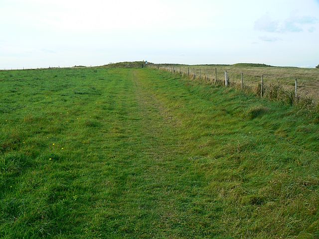
English: Windmill Hill from the White Horse Trail, Winterbourne Monkton The trail is a bridleway on this stretch and is one of three main routes to the hill. |
| Data | |
| Fonte | From geograph.org.uk |
| Autor | Brian Robert Marshall |
| Atribui (required by the license) | Brian Robert Marshall / Windmill Hill from the White Horse Trail, Winterbourne Monkton / |
| Camera location | | View this and other nearby images on: OpenStreetMap |
|---|
_heading:292.00&language=lfn)
| Object location | | View this and other nearby images on: OpenStreetMap |
|---|
_heading:292.00&language=lfn)
Lisensa

|
This image was taken from the Geograph project collection. See this photograph's page on the Geograph website for the photographer's contact details. The copyright on this image is owned by Brian Robert Marshall and is licensed for reuse under the Creative Commons Attribution-ShareAlike 2.0 license.
|
This file is licensed under the Creative Commons Attribution-Share Alike 2.0 Generic license.
Atribui: Brian Robert Marshall
- Tu es libre:
- per comparti – per copia, distribui e transmete la obra
- per remisca – per ajusta la obra
- Su la constrinjes seguente:
- atribui – Tu debe atribui la obra en la modo spesifada par la autor o lisensor (ma no en cualce modo cual sujesta ce el aproba tu o tua usa de la obra).
- share alike – Si tu altera, muta o developa plu esta obra, tu pote distribui la obra resultante sola su la mesma lisensa o un simil a esta.
Istoria de fix
Clica un data/ora per vide la fix en sua forma de alora.
| Data/Ora | Imajeta | Mesuras | Usor | Comenta | |
|---|---|---|---|---|---|
| aora | 12:35, 23 febrero 2011 | | 640 × 480 (107 KB) | GeographBot | == {{int:filedesc}} == {{Information |description={{en|1=Windmill Hill from the White Horse Trail, Winterbourne Monkton The trail is a bridleway on this stretch and is one of three main routes to the hill.}} |date=2008-10-17 |source=From [http://www.geogr |
Usas de fix
La paje seguente lia a esta fix:
Usa global de fix
La otra vicis seguente usa esta fix:
- Usa en ca.wikipedia.org
- Usa en ceb.wikipedia.org
- Usa en en.wikipedia.org
- Usa en fr.wikipedia.org
- Usa en fr.wikivoyage.org
- Usa en it.wikipedia.org
- Usa en nl.wikipedia.org
- Usa en sv.wikipedia.org
- Usa en www.wikidata.org
- Usa en zh.wikipedia.org